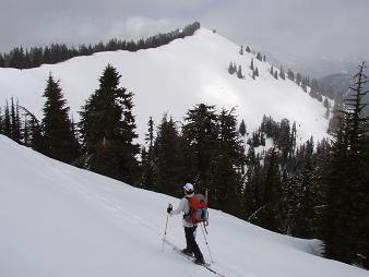
Summit Chief Mountain, Middle Chief Peak, and Little Big Chief Mountain from the summit of Iron Cap Mountain.
Summit Chief Mountain, Middle Chief Peak, and Little Big Chief Mountain from the summit of Wild Goat Peak.
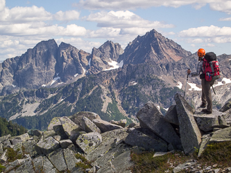
West ridge of Big Chief Mountain
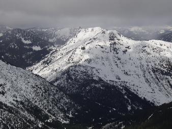
Lichtenberg Mountain from Big Chief Mountain
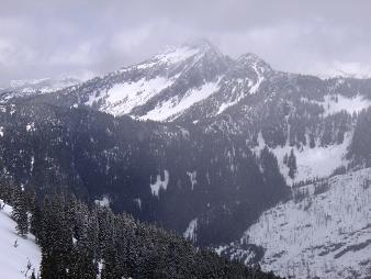
Jim Hill Mountain from Big Chief Mountain
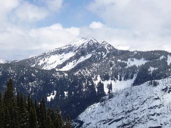
Jim Hill Mountain from Big Chief Mountain
Copyright © 2024 Gabriel Deal.