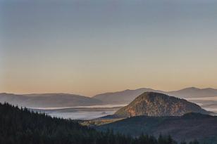
North Fork Snoqualmie Valley (looking down valley), Fuller Mountain and Pelletgun Hill visible on valley floor
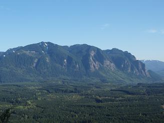
Fuller Mountain from road 29100
Dixie Peak and the Moon Wall from Fuller Mountain
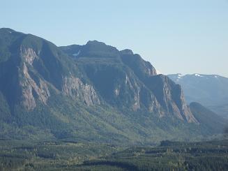
The Moon Wall from Fuller Mountain
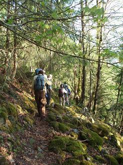
Fuller Mountain trail
Copyright © 2024 Gabriel Deal.