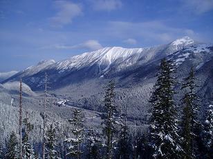
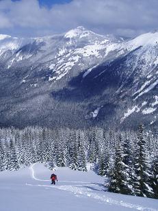
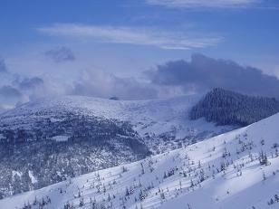
South Fork Snoqualmie valley from north ridge of Mount Gardner, McClellan butte (left), Mount Si (center in back), Defiance Ridge (right)
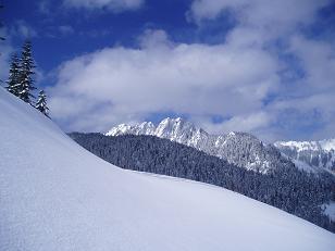
Duke of Kent (and court) from north ridge of Mount Gardner
Duke of Kent (and court) from north ridge of Mount Gardner
Duke of Kent (and court) from north ridge of Mount Gardner
McClellan Butte from the north ridge of Mount Gardner
Defiance Ridge from north ridge of Mount Gardner
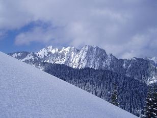
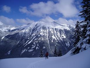
Web Mountain from north ridge of Mount Gardner
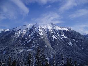
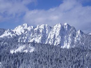
Bandera Mountain from north ridge of Mount Gardner
Bandera Mountain from north ridge of Mount Gardner
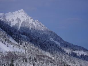
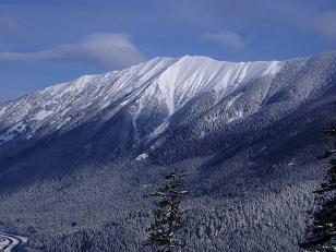
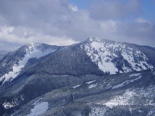
Mount Defiance from north ridge of Mount Gardner
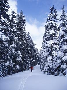
Logging road that runs right on top of the north ridge of Mount Gardner
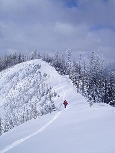
North ridge of Mount Gardner
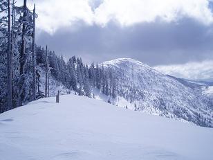
Summit of Mount Gardner
Little Saint Helens from the north ridge of Mount Gardner
Humpback Mountain from the north ridge of Mount Gardner
Copyright © 2026 Gabriel Deal.