Trips
Favorite photos
Peak lists
References
Contact
Search
Location: Mount Persis
Elevation:
5,464 feet
State:
Washington State
Counties:
Snohomish County
In:
Highway 2 Corridor
USGS Quad:
Index
Trip Reports
Mount Persis via NW ridge
2006/11/26
Mount Persis via NW Ridge
2005/11/12
Name Origin
Named after Persis (Graves) Gunn, the wife of Amos D. Gunn (whom Gunn Peak was named for). Amos Gunn was an early postmaster of the Index settlement. (
http://search.tpl.lib.wa.us/wa...
).
Loading map...
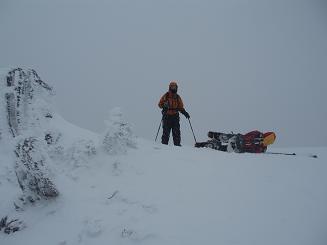
UW Climbers, Seattle Mountaineers, and a lone Bushwacker take lunch below the summit of Mount Persis
2005/11/12
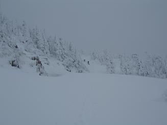
The meadow below the summit of Mount Persis
2006/11/26
Carla watches Mark take a nap on the summit of Mount Persis
2006/11/26
Copyright © 2024 Gabriel Deal.
‹
›
×