Trip reports
|
Favorite photos
|
Peak lists
|
References
|
Mail me
|
RSS
Location: Mount Washington
Elevation:
4,400+ feet
State:
Washington State
County:
King County
USGS quad:
Chester Morse Lake
UTM:
10T 598010E 5253343N (WGS84)
Trip Reports and References
evergreenmtb.org:
Mount Washington mountain bike trail plans
Northwest Hikers:
Mount Washington trail maps
Northwest Hikers:
Mount Washington trail maps (older)
Book:
Seattle Outdoors: Hiking & Cycling-Puget Sound and Cascades
yellowleaf.org:
Mount Washington
yellowleaf.org:
Mount Washington
yellowleaf.org:
Mount Washington
yellowleaf.org:
Greenway Mountain
yellowleaf.org:
Change Peak loop
yellowleaf.org:
Mount Washington (I-90)
Maps
Online USGS map of Mount Washington:
Google Maps
USGS quad:
Chester Morse Lake
Nearby Peaks
Change Peak
(4,320'+)
Greenway Mountain
(4,440'+)
Cedar Butte
(1,880'+)
Mailbox Peak
(4,841')
Dirtybox Peak
(4,926')
McClellan Butte
(5,162')
Dirty Harry's Peak
(4,680'+)
Full sized map
Mailbox Peak from Mount Washington (From
this trip
.)
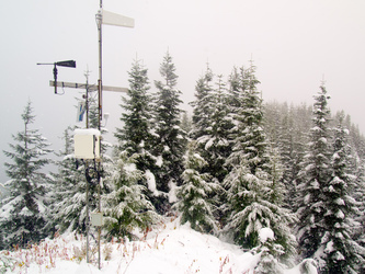
The summit of Mount Washington (From
this trip
.)
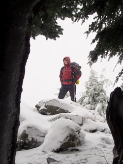
On the summit of Mount Washington. (From
this trip
.)
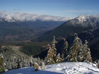
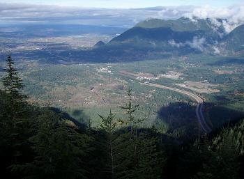
Middle Fork Valley from Mount Washington (From
this trip
.)
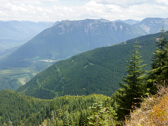
Mount Si from Mount Washington (From
this trip
.)
Mount Washington from North Bend
Copyright © 2004 Gabriel Deal.