Trips
Favorite photos
Peak lists
References
Contact
Search
Location: Munra Point
Elevation:
1,840+ feet
State:
Oregon State
Counties:
Multnomah
In:
Columbia River Gorge
USGS Quad:
Tanner Butte
Trip Reports
Munra Point from Wahclella Trailhead
2007/08/10
Loading map...
Hamilton Mountain from Munra Point trail
2007/08/10
Munra Point trail
2007/08/10
Looking west down the Columbia River Gorge from Munra Point
2007/08/10
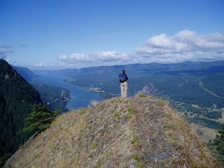
Top of Munra Point trail
2007/08/10
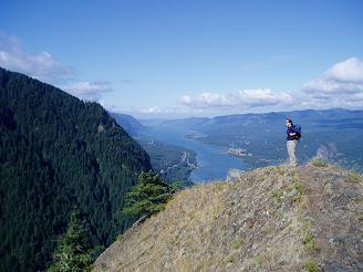
Top of Munra Point trail
2007/08/10
Copyright © 2024 Gabriel Deal.
‹
›
×