Trips
Favorite photos
Peak lists
References
Search
The Mountaineer's Teanaway Second Ten
Location Name
Elevation
USGS quad
South Ingalls Peak
7,640'+
Mount Stuart
Fortune Peak
7,382'
Mount Stuart
Gene's Peak
6,779'
Mount Stuart
Devils Head
6,666'
Enchantment Lakes
Volcanic Neck
6,600'+
Enchantment Lakes
Iron Peak
6,510'
Mount Stuart
DeRoux Peak
6,260'
Mount Stuart
Koppen Mountain
6,031'
Mount Stuart
Malcolm Mountain
5,480'+
Teanaway Butte
Goldwater Peak
5,220'
Teanaway Butte
Loading map...
Ladybugs on summit of Fortune Peak
2006/06/17
Ingalls Peak and South Ingalls Peak
2019/06/15
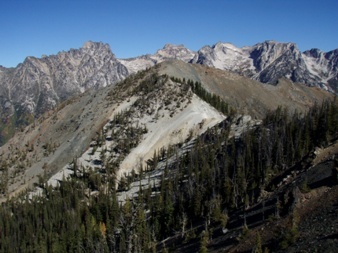
Volcanic Neck
2022/10/16
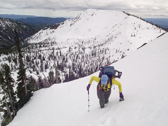
Hawkins Mountain from DeRoux Peak
2016/06/06
Mount Stuart from summit of Malcolm Mountain
2006/06/03
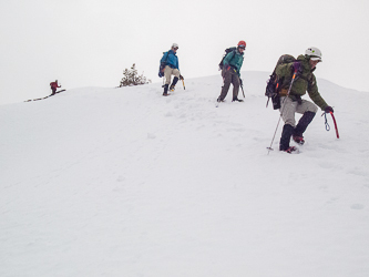
Descending from the summit of Gene's Peak
2015/03/29
Iron Peak
2015/03/29
Devils Head
2010/10/02
Copyright © 2024 Gabriel Deal.
‹
›
×