Cowlitz Rocks from Paradise
We had intermittent low visibility all day, without the GPS navigation
might have been a challenge, the nearby landmarks weren't always
obvious. The route we took was mostly a snowshoe with one short
section of easy rock scrambling around 7,040' on the ridge SW of Cowlitz
Rocks. The summit itself was a walk-up with cornices and a steep drop
off on the east side.
Round-trip distance:
7 miles
Elevation gain:
2,080 feet
USGS quad:
Mount Rainier East
In:
Mount Rainier National Park
Car-to-car:
5 hours 11 minutes
-
2 hours 54 minutes
ascending
from
Paradise
to
summit of Cowlitz Rocks
-
56 minutes
descending
from
summit of Cowlitz Rocks
to
where we stopped for lunch at creek crossing
-
1 hour 3 minutes
descending
from
where we stopped for lunch at creek crossing
to
Paradise
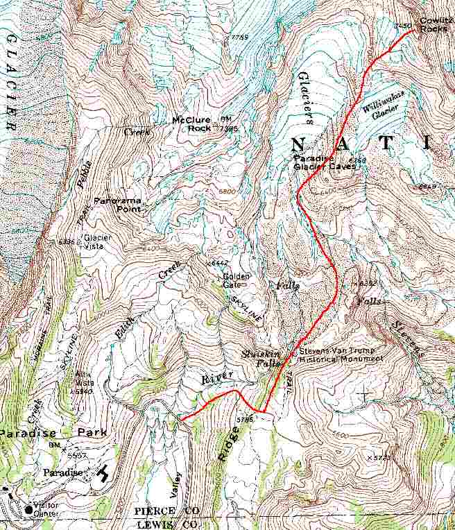
Cowlitz Rocks from Paradise map
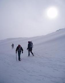
On the way back to Paradise from Cowlitz Rocks
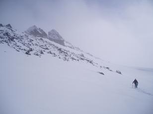
Ridge south of Cowlitz Rocks
Copyright © 2024 Gabriel Deal.