A jolly yellow elbow and a sassy hex
Note: no water at all on the ridges.
I parked at the Hex Mountain trailhead (#1340.1) on Corral Creek Road
and hiked east on Corral Creek Road and then Road 113 to the Yellow
Hill trailhead, my car couldn't have handled Road 113 but it's good
mountain bike material. I turned onto the road that leads to the
trail to Yellow Hill, pretty uninspiring stuff here, it's a steep
trail heavily traveled by dirt bikes.
After passing Elbow Peak I
noticed point 5920+ and decided to take a short detour and check out
the summit. It was a walk-up to a nice, rocky summit with loads of
exposure on the east side, when I got home I discovered that it is
unofficially named "Humerus Hill".
When I arrived at the summit of Jolly Mountain, I found two mountain
bikers there before me, the first people I had seen all day. The
summit of Jolly Mountain has a nice half-circle rock wall that breaks
the wind nicely, I bivvyed here. It was a great summit to sleep on,
the full moon was out so whenever I awoke at night I could stand up
and have 360 degree views of the surrounding peaks, which included
the Stuart Range, Hawkins Mountain, Daniel, Mount Hinman, Bears Breast
Mount, Chimney Rocks, Rainier, and many local peaks.
The next day I enjoyed the hike from Jolly to Sasse Mountain, much of
the time I had nice views of the impressive peaks to the NW. Sasse
Mountain was a disappointment, it was treed in with a campfire circle
on the summit. But Hex Mountain and high points south of Sasse were
gratifying and provided me with many stops for snacks and views. Trail
1340.1 down from Hex Mountain was a bit of a mess, motorcycles have
chewed it up a bit.
Date:
2005/09/17
to 2005/09/18
Round-trip distance:
32 miles
Elevation gain:
3,525 feet
USGS quads:
Davis Peak, Teanaway Butte, Cle Elum Lake
In:
Teanaway, Cle Elum River Area
Car-to-car:
2 days
-
2 hours 16 minutes
ascending
from
Corral Creek/Hex Mountain trailhead
to
Yellow Hill trailhead
-
5 hours 36 minutes
ascending
from
Yellow Hill trailhead
to
Jolly Mountain summit
-
6 hours 27 minutes
descending
from
Jolly Mountain Summit
to
Corral Creek/Hex Mountain trailhead
-
15 minutes
driving back
from
Corral Creek/Hex Mountain trailhead
to
Last Resort Restaurant
-
1 hour 42 minutes
driving back
from
Last Resort Restaurant
to
lower Queen Anne
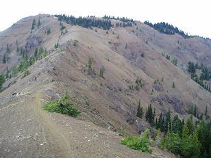
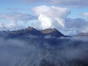
South side of Elbow Peak
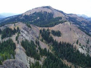
South side of Jolly Mountain
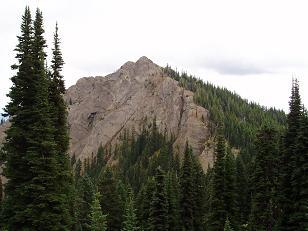
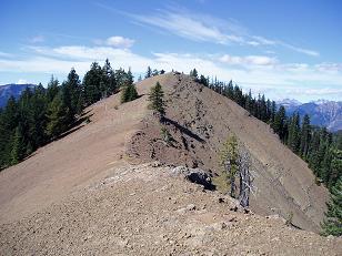
North side of Humerus Hill
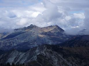
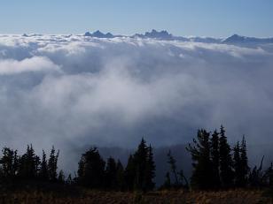
Hawkins Mountain from Jolly Mountain
Hawkins Mountain from Jolly Mountain
Summit Chief, Chimney Rocks, etc from Jolly Mountain
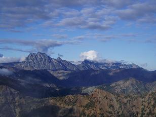
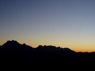
Stuart Range and the Teanaway from Jolly Mountain
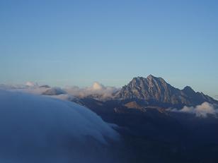
Mount Stuart from Jolly Mountain
Mount Stuart from Jolly Mountain at sunrise
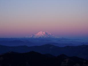
Mount Ranier from Jolly Mountain at sunrise
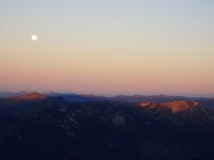
The moon over the mountains to the west of Jolly Mountain at sunrise
SW side of Skookum Mountain
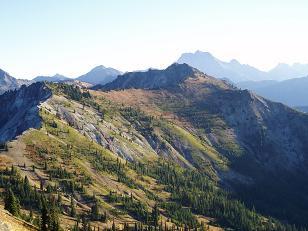
South side of Hex Mountain
Copyright © 2024 Gabriel Deal.