Sauk Mountain via trail
This trip starts in the parking area at the end of the Sauk Mountain
Road, where the views are better than many summits I've been on. From
the parking area the trail heads across a meadow and stays in open
fields for most of the hike. Much of the time it switchbacks up an
open, west-facing slope. Once the trail gains the east ridge of Sauk
Mountain, the views get even better.
The summit of Sauk Mountain is about 8 rocky crags, the trail leads to
a middle crag with the last remnants of a structure on top. This is
not the true summit of Sauk Mountain but the views are very good.
The true summit is the fourth crag from the north. It is a scramble
to reach this summit, first traversing on talus to get below the col
south of the summit, then scrambling up to the col on steep heather
and a little rock. On my ascent I took a short 3rd/4th class chimney
(on my descent I bypassed the chimney by staying 20 feet further to
the north, it was much better this way). I was relieved to find the
survey marker when I reached the summit, until then I wasn't sure if
this summit or the next summit to the north was higher.
Elevation gain:
1,145 feet
Car-to-car:
2 hours 13 minutes
-
1 hour 5 minutes
ascending
from
Sauk Mountain trailhead
to
summit of Sauk Mountain
-
51 minutes
descending
from
summit of Sauk Mountain
to
Sauk Mountain trailhead
-
2 hours 26 minutes
driving back
from
Sauk Mountain trailhead
to
Lower Queen Anne
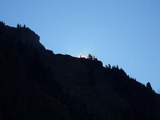
Faerie glow on Sauk Mountain trail
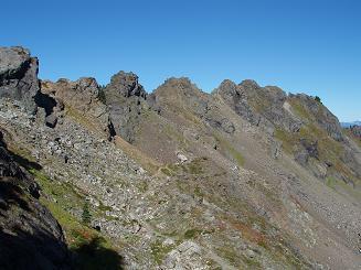
Summit crags of Sauk Mountain
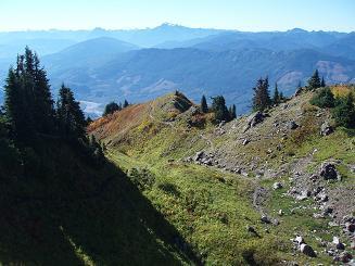
Sauk Mountain trail
Copyright © 2024 Gabriel Deal.