Mount Persis via NW ridge
Due to snow and my fear of getting stuck, Carla, Mark, and I parked on
Road 62 about 1.5 miles from the trail. We hiked up the road to the
NW ridge trail.
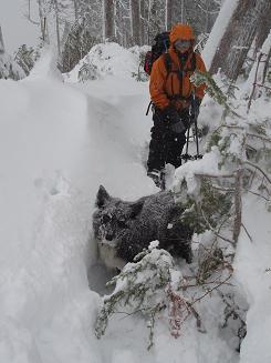
On the ridge the snow was often unconsolidated and deep, in
unsheltered areas the wind was furious, and near the top my eyelashes
started accumulating ice. Given the challenging conditions, we should
have been more conservative about our turn-around time, but we pushed
on all the way to the summit.
On the way down I skied three sections and snowshoed two sections.
That's a lot of swapping between skis and snowshoes, but the skiing
was great and it was worth lugging the skis up, especially when
descending the road back to the car!
It was dark by the time we reached the car.
Elevation gain:
3,675 feet
Trip type:
scramble, backcountry ski
Car-to-car:
9 hours 1 minute
-
6 hours 16 minutes
ascending
from
parking spot
to
summit of Mount Persis
-
2 hours 18 minutes
descending
from
summit of Mount Persis
to
where trail meets road
-
27 minutes
descending
from
where trail meets road
to
parking spot
Logan and Carla
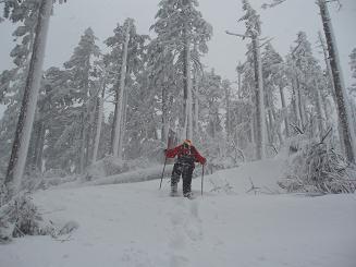
Mark
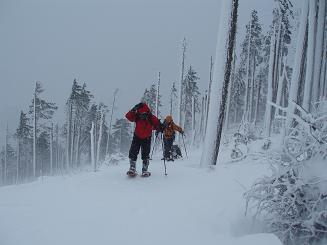
Mark, Carla, and Logan
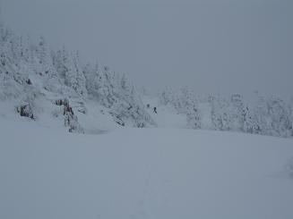
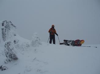
The meadow below the summit of Mount Persis
Carla watches Mark take a nap on the summit of Mount Persis
Copyright © 2024 Gabriel Deal.