Loser Ridge (attempted)
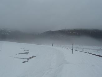
Bruno, Jeff, and I parked in the Price Creek rest area and headed NW
to Keechelus Lake. We crossed on the dam then headed for the Meadow
Creek road (road 5483). On Meadow Creek road, about a hundred feet
after we passed under the power lines, we headed north off of the road
and went cross-country up Loser Ridge (who named this ridge?).
Loser Ridge is populated by young trees that are spaced out enough
that we got wet when pushing wet boughs out of our way, but didn't
feel like we were bushwacking. We made our way to 4,400' on the ridge
via a mixture of logging roads and cross-country travel. At this
point I continued on to tag the false summit of the ridge.
The upper part of the ridge has a wonderful, open bowl that would be
fun to yoyo -- assuming the snowmobiles aren't around. We only saw
four (it was a Friday), but there were loads of tracks from previous
weekends.
Since it was raining, we headed right back down the ridge (a nice run)
to the network of logging roads that eventually meet Road 5483. The
ski down the logging roads to road 5483 was very fun even though the
snow was soggy crud. It was a slog from 5483 to the parking area.
In better weather, a loop trip to Loser Ridge and Roaring Ridge would
make a fun ski trip.
Elevation gain:
2,210 feet
Trip type:
back country ski
USGS quads:
Stampede Pass, Lost Lake
Car-to-car:
6 hours 11 minutes
-
3 hours 39 minutes
ascending
from
eastbound Price Creek rest area
to
false summit of Loser Ridge
-
2 hours 32 minutes
descending
from
false summit of Loser Ridge
to
eastbound Price Creek rest area
-
51 minutes
driving back
from
eastbound Price Creek rest area
to
TNAB rendezvous point
Crossing Kachess Dam
Copyright © 2024 Gabriel Deal.