Treen Peak via Green Ridge
Lindsay and I parked on the Middle Fork Road and headed up the Green
Ridge trail. At the fork at 3,400' we stayed left (on the ridge) and
continued up point 4,840'+. 4840 would be a nice hiking destination
in itself, it has good views in all directions. It also offers a
great view of the route up the final 1,000' of Treen Peak.
From 4,840' we dropped down to lake 4662 then down to Upper Garfield
Mountain Lake. This is 800' of elevation loss, putting the trip over
6,000' of total gain!
From Upper Garfield Mountain Lake, we ascended to Charlie Brown Lake.
From the lake the best route wasn't 100% clear to me. From the outlet
of the lake we contoured below the gendarme-filled SW ridge of Treen
until we passed through a steep snow gully (with rock on both sides)
that is directly north of the lake (see the photo with the route drawn
in). After the snow gully the terrain was straight-forward to the
summit.
At the summit we found a brand-new summit register placed a few days
earlier by Fay Pullen. I wonder if the register Randy placed a few
years ago was still buried under the summit cornice? We spent well
over an hour lazing on the the roomy summit admiring the views in all
directions.
Elevation gain:
6,115 feet
USGS quad:
Snoqualmie Lake
In:
Alpine Lakes Wilderness, Middle Fork Snoqualmie Drainage
Car-to-car:
11 hours 42 minutes
-
1 hour 22 minutes
driving there
from
Wallingford
to
Green Ridge trail
-
6 hours 8 minutes
ascending
from
Green Ridge trail
to
summit of Treen Peak
-
4 hours 5 minutes
descending
from
summit of Treen Peak
to
Green Ridge trail
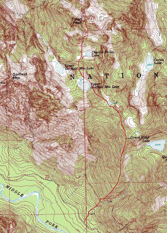
Map of route to Treen Peak via Green Ridge
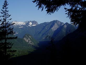
Bessemer Mountain, Quartz Mountain, and Choirboy from Green Ridge trail
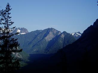
Quartz Mountain from Green Ridge trail
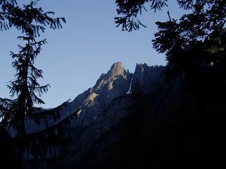
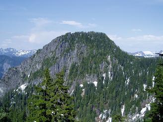
Garfield Mountain from Green Ridge Trail
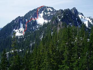
Treen Peak with our route from Charlie Brown Lake drawn in
Floating Rock from Green Ridge
Copyright © 2024 Gabriel Deal.