Pelletgun Hill
What do you do when you planned to hike in the upper North Fork
Snoqualmie valley but the road is closed before the Wagner Bridge?
You hike up Pelletgun Hill!
I parked on the North Fork Snoqualmie Road at gate 20 and headed NE
past the gate and up the logging road. At the road fork on SE side of
Pelletgun Hill I went left and followed the road as it switchbacked
its way to its end on the NE ridge of Pelletgun Hill. This was an
impressively logged, bashed, and wasted spot.
From the NE ridge it was a hike/scramble over logged-out but easily
travelable terrain to the top.
In:
North Fork Snoqualmie Drainage
Car-to-car:
1 hour 36 minutes
-
1 hour 2 minutes
ascending
from
gate 20 on North Fork Snoqualmie Road
to
summit of Pelletgun Hill
-
34 minutes
descending
from
summit of Pelletgun Hill
to
gate 20 on North Fork Snoqualmie Road
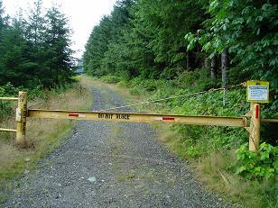
North Fork Snoqualmie gate 20
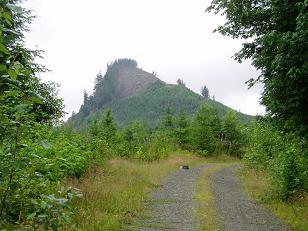
Pelletgun Hill
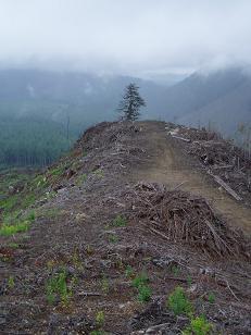
NE ridge of Pelletgun Hill
Copyright © 2024 Gabriel Deal.