Miller Peak
I parked at the end of Stafford Road and headed up the Miller Creek
trail (#1379). It was a pleasant trail with great autumn colors on
the lower part. There were a small number of larches near the top. I
didn't see anyone the whole day but, judging by the tracks on the
trail, it is well-used by horses and motorcycles. My curiosity was
piqued by the semi-permanent camp set up on the SW ridge, complete
with a pile of fire wood.
Elevation gain:
3,185 feet
Car-to-car:
4 hours 25 minutes
-
2 hours 33 minutes
ascending
from
Miller Peak trail head (Stafford Road)
to
summit of Miller Peak
-
1 hour 32 minutes
descending
from
summit of Miller Peak
to
Miller Peak trail head (Stafford Road)
-
2 hours 12 minutes
driving back
from
Miller Peak trail head (Stafford Road)
to
Lower Queen Anne
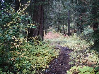
Miller Creek trail
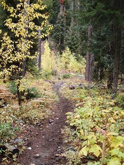
Miller Creek trail
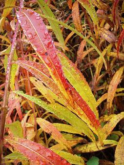
Fireweed
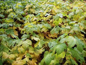
Thimbleberries
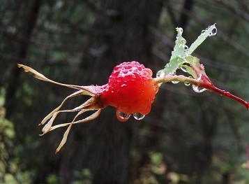
Rose
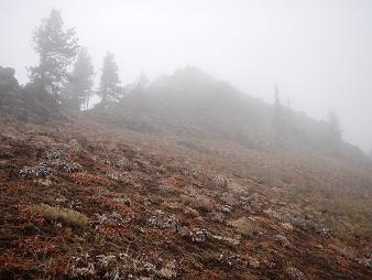
Miller Peak ridge
Copyright © 2024 Gabriel Deal.