Change Peak loop
Whitebark has an excellent page that describes the trails in this
area at
http://www.eskimo.com/~pinyon/...I parked at Change Creek on the Exit 38 frontage road and took the
climber's path to the Iron Horse Trail and hiked that to the Change
Creek Trail. The first part of Change Creek Trail was really nice. I
particularly enjoyed a detour to point 2,440'+, which involved some
scrambling on a knife-edge ridge. The spur trail leading to Hall
Point was also well worth it.
The trail becomes less aesthetic when the trail crosses from the Hall
Creek drainage to the Change Creek drainage. But I was pleased to
find a long, easy bouldering traverse on the trail around 3,480' on
the north side of Change Creek.
I scrambled up the SE ridge of Change Peak and descended the SW ridge,
both were brushy. SW was a bit less brushy.
I continued on the Great Wall trail, up Mount Washington, then went
down the old trail. It was a nice loop.
USGS quad:
Chester Morse Lake
In:
South Fork Snoqualmie Drainage
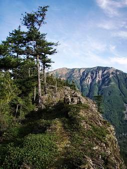
Hall Point 2,400'
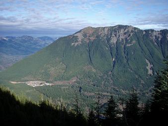
Mailbox Peak and Dirtybox Peak from Change Creek trail
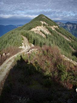
SW side of Change Peak
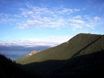
West side of Change Peak from i
Copyright © 2024 Gabriel Deal.