Some goofy middle fork peak, try #3 -- success!
Yana and I parked near the big bridge over the Middle Fork and headed
up a trail that starts a hundred feet south of the bridge. The trail
meets the Granite Creek Road-Trail where the road crosses the north
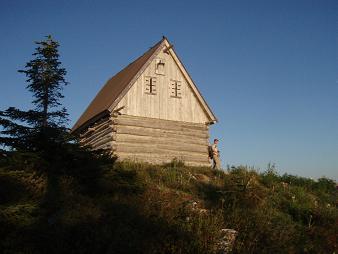
ridge of Mailbox Peak. From there we followed the road to the cabin
on point 5124, then we followed the NW ridge to the 4440'+ pass
between point 5124 and 4642. (There is a road that goes directly to
this pass, but it is very brushy and hard to follow.)
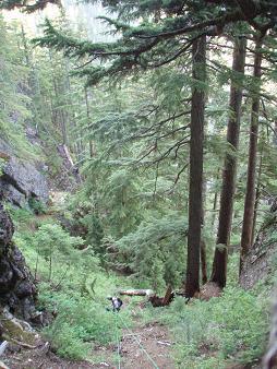
From the pass we followed a logging road into the Gifford Lakes
valley. At the second switchback (the road's northern-most point at
around 4000') we left the road and traversed north toward Little
Comrade. While traversing we stayed as high as we could without
getting into the rock. After skirting above a dense forest of vine
maple on the SE side of Little Comrade, we started gaining elevation,
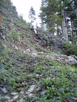
scrambling up two steep sections of 3rd class gully/meadow. Soon we
dropped 15 feet into a gully (Carla and I tried climbing this gully in
2007) and continued traversing. After some nasty brush, we passed a
gully mostly hidden by trees, then 30 feet later arrived at a gully
that started with a mossy, smooth, slabby dihedral (I scoped out this
gully with Lindsay in 2008). This was at about 3,700' on the NE side
of the peak above a cliff band.
We soon gave up on the dihedral gully and went back to climb the
hidden gully. After 4000'+ of gain and six hours we were finally
climbing the peak itself! We climbed the steep duff gully with lots
of help from huckleberry bushes and our ice axes, this would be the
pattern for the next few hours.
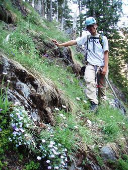
At the top of the gully we roped up and climbed rest of the route with
a mixture of belays and simul. I've made roped ascents of rock and
glacier routes, but never of a duff route. Weird.
We made a rising westward traverse along steep slopes that alternated
from brush to bare duff with constant exposure to cliffs below.
Eventually we traversed to a wide gully, it was the first one that
drained into the Middle Fork instead of the Gifford Lakes. At this
point we headed left up the gully to a small col, from the col we
traversed left, then there were only a few difficult duff moves (the
first place I ever used a three-finger moss pocket for a hold) until
we were on a friendly, moderate slope that soon led to the summit.
There was no indication a previous ascent at the top. I commented,
"This is probably a first ascent." To which Yana replied, "And
probably the last ascent". I dubbed the peak "Little Comrade" and
placed a summit register. Yana teased me for optimistically putting
four pages in the register, "Do you really think it needs that many?"
I'll never climb it again, but I'm very happy to have finally
succeeded on this summit!
Elevation gain:
6,169 feet
In:
Middle Fork Snoqualmie Drainage
Car-to-car:
16 hours 39 minutes
-
49 minutes
driving there
from
65th St P&R
to
the bridge over the Middle Fork
-
3 hours 39 minutes
ascending
from
the bridge over the Middle Fork
to
4440'+ pass south of point 4642
-
2 hours 2 minutes
descending
from
4440'+ pass south of point 4642
to
NE side of Little Comrade
-
3 hours 11 minutes
ascending
from
NE side of Little Comrade
to
summit of Little Comrade
-
2 hours 16 minutes
descending
from
summit of Little Comrade
to
NE side of Little Comrade
-
2 hours 2 minutes
ascending
from
NE side of Little Comrade
to
4440'+ pass south of point 4642
-
44 minutes
descending
from
4440'+ pass south of point 4642
to
Cabin
-
2 hours 11 minutes
descending
from
Cabin
to
the bridge over the Middle Fork
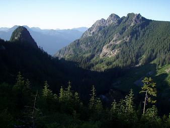
Si, Teneriffe, Green
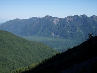
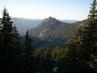
Mount Defiance from Thompson Point 5124
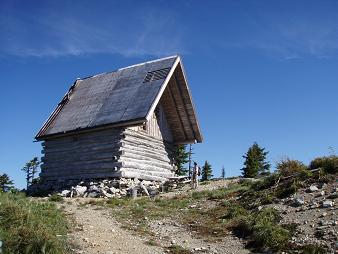
Cabin on Thompson Point 5124
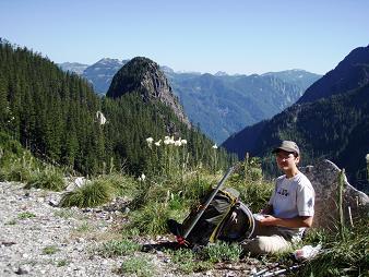
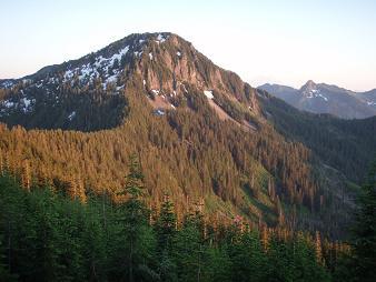
Little Comrade
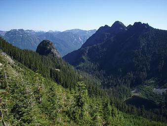
Little Comrade and Russian Butte
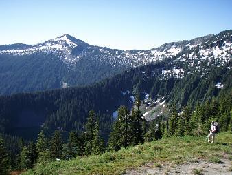
On the logging road in the Gifford Lakes valley
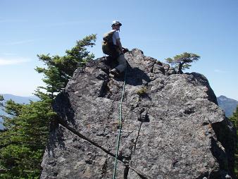
Summit of Little Comrade
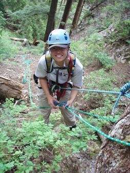
Rapping down the duff gully
Really, we're not rapping down a trail
Scrambling on the east side of Little Comrade
Meadow on east side of Little Comrade
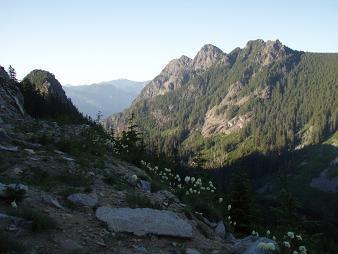
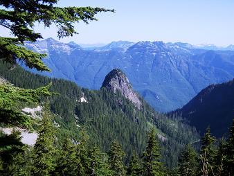
Russian Butte
Russian Butte and Little Comrade
Russian Butte
Back at the cabin!
Mount Defiance
Web Mountain
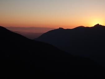
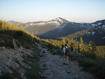
Only a couple more hours of hiking before the car
Copyright © 2024 Gabriel Deal.