Kennedy Creek bridge, broken in half but still useable
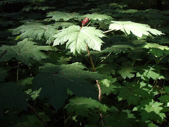
Devil's Club
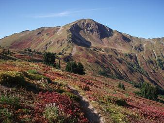
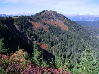
South side of White Mountain
NW side of Indian Head Peak
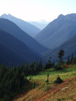
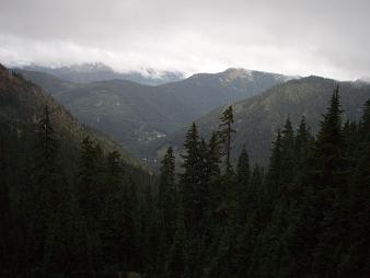
Looking down the North Fork Sauk Valley
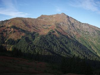
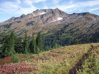
South side of Indian Head Peak
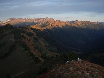
North Fork Sauk peaks
The Poet's Traverse
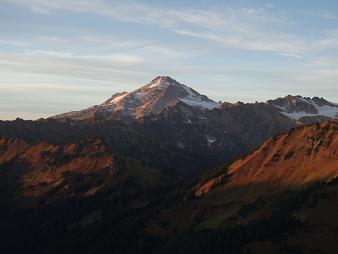
Glacier Peak from Kodak Peak
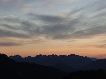
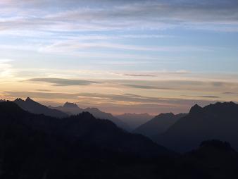
Skykomish peaks
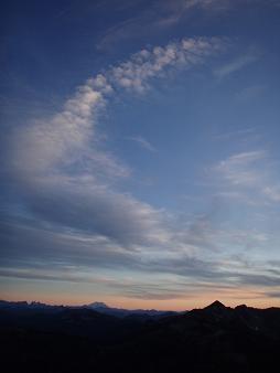
Swoosh!
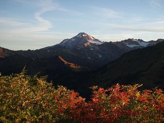
Glacier Peak from Kodak Peak
Point 6562 and Johnson Mountain from Kodak Peak
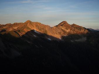
Grizzly Peak
A rainy final day
Copyright © 2024 Gabriel Deal.