Mount Roosevelt
Andrea and I took the Snow Lake trail to Gem Lake. At Gem Lake we
crossed the outlet and followed a boot path up the NE ridge of
Roosevelt. At a talus field around 5,500' we left the ridge for the
south side and made a downward traverse below a cliff band. Past the
cliff band there were two gullys leading up to a 5,600' basin that is
between the true summit and the 5,760'+ north summit. We took the
second gully up to the basin but the first gully is also supposed to
go.
From the 5,600' basin we went SE up a ramp that led to the steep,
exposed, heather slope that Roosevelt is known for. This section was
complicated by frozen sod and a couple inches of snow. Nasty! After
climbing the heather slope, a few minutes of easy scrambling led to
the summit.
It looked like we could have gone up at the 5,500' talus field,
traversed above the cliff band, then dropped into the 5,600' basin.
This route may have been more direct.
USGS quad:
Snoqualmie Pass
In:
Middle Fork Snoqualmie Drainage, South Fork Snoqualmie Drainage
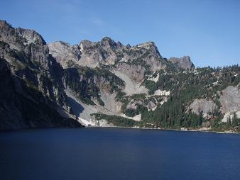
Mount Roosevelt from Snow Lake
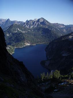
Snow Lake from Mount Roosevelt
Copyright © 2024 Gabriel Deal.