Pratt River, Mount Defiance, Granite Lakes loop
This was a silly, long loop to Mount Defiance starting and ending at
the Middle Fork Snoqualmie trail head.
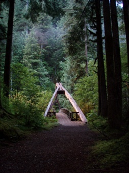
From the trail head I took the connector trail to the Pratt River
Trail and followed the Pratt River Trail to its end. This trail does
not have much to recommend it. At the end of the Pratt River Trail I
was unable to follow the trail that goes from the Pratt River Trail up
to Pratt Lake, so I just went east cross-country to the Kaleetan Lake
trail. The cross-country section was only 30-40 minutes and not too
brushy.
When I got to the Kaleetan Lake trail, I followed the trail network to
Lower Tuscohatchie Lake, Pratt Lake, Rainbow Lake, and finally to the
summit of Mount Defiance. My object was really just the silly loop,
not Defiance, but I figured I'd throw it in since I was so close.
From Defiance I followed the trail through some very pretty meadow
land (where I saw a bear cub) to Thompson Lake. From there I headed
to the Granite Lake Road-Trail. At the north ridge of Mailbox, I took
the connector short-cut trail that leads to the Middle Fork Road.
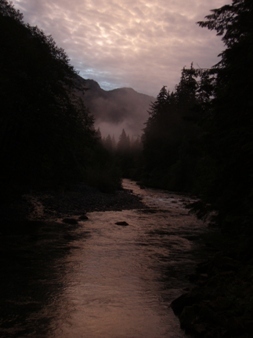
I had hoped to hitch a ride up the Middle Fork Road, but it was dark
by the time I got to the road and the only truck that went in my
direction ignored me and my raised thumb. A few miles later I walked
past the truck with the driver in the back smoking. I said "hi" as
I walked past but he ignored me.
After hiking 5+ miles of the Middle Fork Road in the rain and in the
dark, I was very happy to finally return to my car and a thermos full
of hot chocolate.
Round-trip distance:
28 miles
Elevation gain:
5,339 feet
In:
Alpine Lakes Wilderness, South Fork Snoqualmie Drainage, Middle Fork Snoqualmie Drainage
Car-to-car:
14 hours 46 minutes
-
1 hour 14 minutes
driving there
from
Lower Queen Anne
to
Middle Fork trail head
-
9 hours 4 minutes
hiking
from
Middle Fork trail head
to
Mount Defiance
-
3 hours 55 minutes
hiking
from
Mount Defiance
to
Middle Fork Road (near big bridge)
-
1 hour 47 minutes
hiking
from
Middle Fork Road (near big bridge)
to
Middle Fork trail head
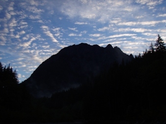
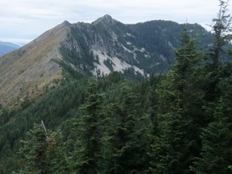
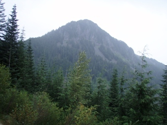
Middle Mountain
Sometimes the Pratt River trail looked like a road
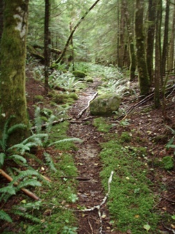
Sometimes the Pratt River trail looked like a trail
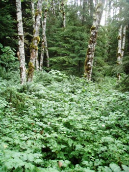
Sometimes the Pratt River trail looked like a wall of brush
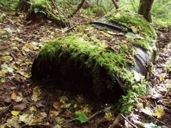
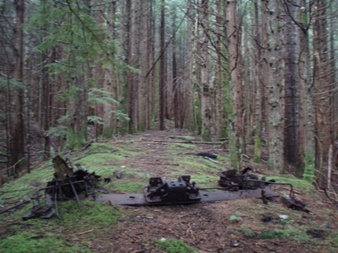
Sometimes I was glad to see trash because it reassured me I was still on the trail
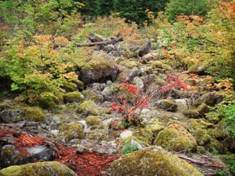
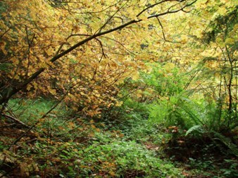
Eventually I left the Pratt River trail and went cross-country
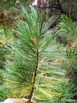
Pine tree on the trail near the Olallie/Pratt pass, unusual for the area
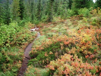
In the lake basin between Defiance, Bandera, and Pratt
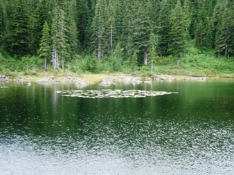
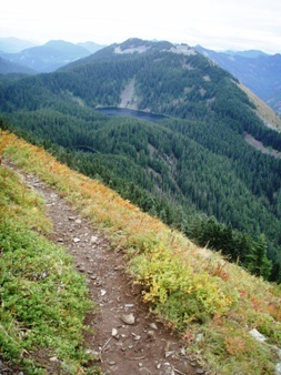
Rainbow Lake
Putrid Pete's Peak and Web Mountain
Bandera Mountain from the Mount Defiance trail
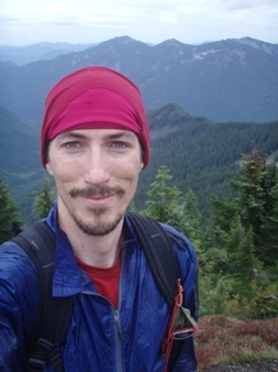
On the summit of Defiance
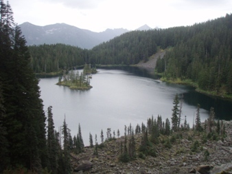
Thompson Lake
Shoulder of Web Mountain through the rain
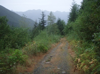
A long, rainy road walk ahead back to the Middle Fork trail head
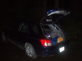
After walking roads for hours in the dark and rain, I was very happy to see my car
Copyright © 2024 Gabriel Deal.