Trips
Favorite photos
Peak lists
References
Contact
Search
Silver Star Mountain
Date:
2012/06/03
Round-trip distance:
8 miles
Elevation gain:
5,436 feet
Trip type:
scramble
USGS quad:
Silver Star Mountain
Car-to-car:
10 hours 15 minutes
5 hours 35 minutes ascending from Highway 20 at Silver Star Creek to the summit of Silver Star
3 hours 54 minutes descending from the summit of Silver Star to Highway 20 at Silver Star Creek
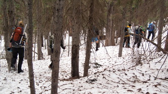
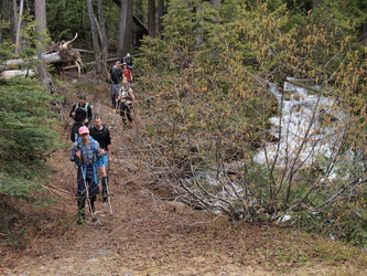
Our trail head, where Silver Star Creek crosses Highway 20
Creative insulating layer
The Wine Spires in the distance
Two-thirds of our party
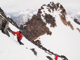
The impressive prow coming off of Silver Star's west summit
Chablis Spire and Pernod Spire on the right
The skier part of the party rejoins us
Hans sitting right below Silver Star's summit, the west summit in the background
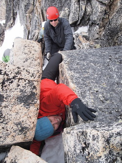
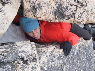
Megan doing a full-body jam
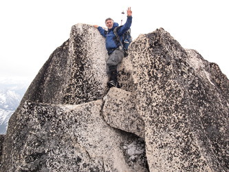
Brett on the summit of Silver Star
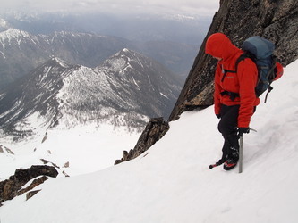
Lindsay looking down the steep descent from the summit
Back at the highway
Copyright © 2024 Gabriel Deal.
‹
›
×