Trips
Favorite photos
Peak lists
References
Contact
Search
Archer Mountain loop
Date:
2013/03/31
Car-to-car:
5 hours 50 minutes
Trip type:
scramble
USGS quad:
Multnomah Falls
In:
Columbia River Gorge
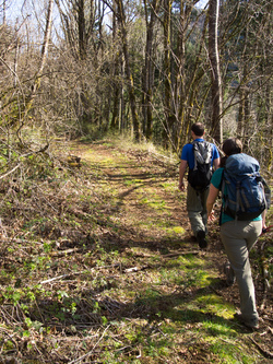
The PCT gang leaving our trail head at the end of Smith-Cripes Road. From left to right, DATAMuffin, Wired, Goodness, and Marmot.
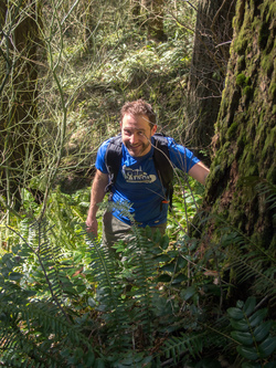
On road 159.
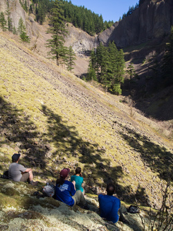
Looking north to the head of the basin on Archer Mountain's west side.
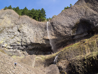
Lindsay looks down at the waterfall basin from the top of the cliff.
We hiked along the edge of the cliff for a while.
Marmot and Wired try to decipher a water logged note on the summit of Archer Mountain.
Wired and Goodness look out from the viewpoint on the south side of Archer Mountain.
Looking back on the viewpoint.
The Columbia River from the SW side of Archer Mountain.
Crossing the creek the runs along the west side of Archer.
From the meadow near the trail head.
Copyright © 2024 Gabriel Deal.
‹
›
×