Ares Peak, Venus Lake, and Spade Lake from the east peak of Mount Daniel
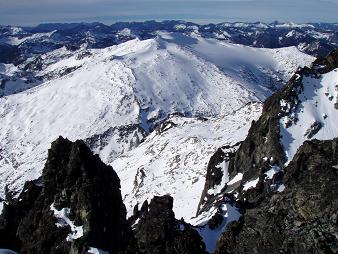
Mount Hinman from the summit of Mount Daniel
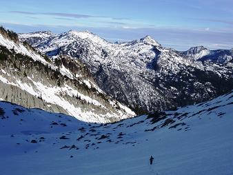
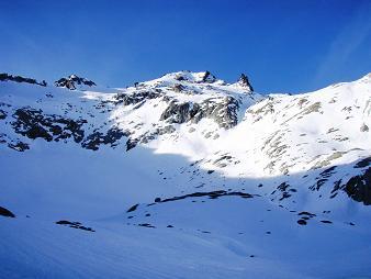
Looking back at Mount Daniel
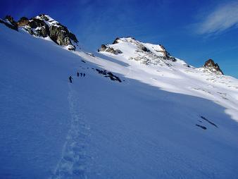
Descending the east basin of Mount Daniel
Granite and Trico
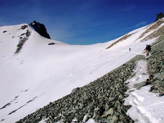
The east peak of Mount Daniel
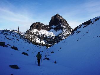
Cathedral Rock
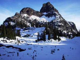
Cathedral Rock
Copyright © 2026 Gabriel Deal.