Trips
Favorite photos
Peak lists
References
Search
OCT: Port Orford to Bandon
Date:
2015/10/06 to 2015/10/07
Car-to-car:
2 days
Round-trip distance:
42 miles
Trip type:
backpack
In:
Oregon Coast
Loading map...
Day 1
Tseriadun State Recreation Site by Port Orford.
Yellow Sand-Verbena
Purple Aster
Cape Blanco lighthouse, the westernmost point in Oregon.
Coast Trail!
Sixes River
Gooseneck Barnacles
Blacklock Point
Indian Paintbrush
Someone has a nice campsite.
Duckweed
Floras Lake State Park
Oregon Coast Trail
Floras Creek
The Cape Blanco lighthouse strobe light, an hour after sunset.
Day 2
Bandon to Floras map with Snowy Plover restriction information.
New River Area of Critical Environmental Concern (ACEC) primitive camping area info.
Vertebrae of a beached whale.
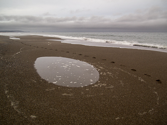
This critter dug into each pile of seaweed on the beach.
Haystack Rock from Devils Kitchen.
Coquille River and lighthouse from the south jetty.
Bandon
Copyright © 2026 Gabriel Deal.
‹
›
×