Alpine Lakes High Route
In via Lake Dorothy. Traverse from Big Snow to Hinman. Out via Pea Soup Lake, Jade Lake, and Marmot Lake. Awesome the whole way!
Date:
2016/08/10
to 2016/08/14
Round-trip distance:
47 miles
Elevation gain:
16,000 feet
USGS quads:
Big Snow Mountain, Mount Daniel
In:
Middle Fork Snoqualmie Drainage, Alpine Lakes Wilderness
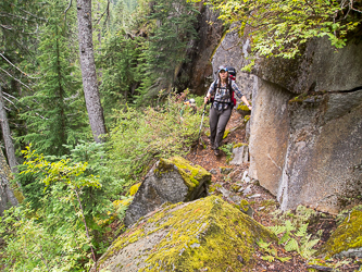
Day 1
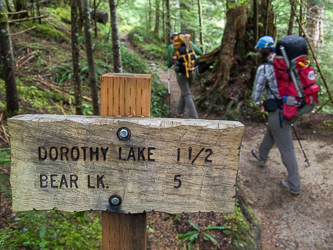
Dorothy Lake Trail Head
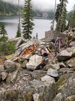
Dorothy Lake