Trips
Favorite photos
Peak lists
References
Search
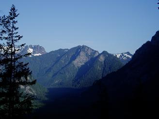
Location: Green Ridge trail (unofficial name)
State:
Washington State
Counties:
King County
In:
Middle Fork Snoqualmie Drainage
USGS Quad:
Snoqualmie Lake
Trip Reports
Treen Peak via Green Ridge
2007/06/02
Green Ridge Lake
2004/08/30
Hiking up the Green Ridge trail
2012/07/04
Bessemer Mountain, Quartz Mountain, and Choirboy from Green Ridge trail
2007/06/02
Quartz Mountain from Green Ridge trail
2007/06/02
Copyright © 2026 Gabriel Deal.
‹
›
×